Bay of Bengal system: intensifies into depression, but when will it hit land?
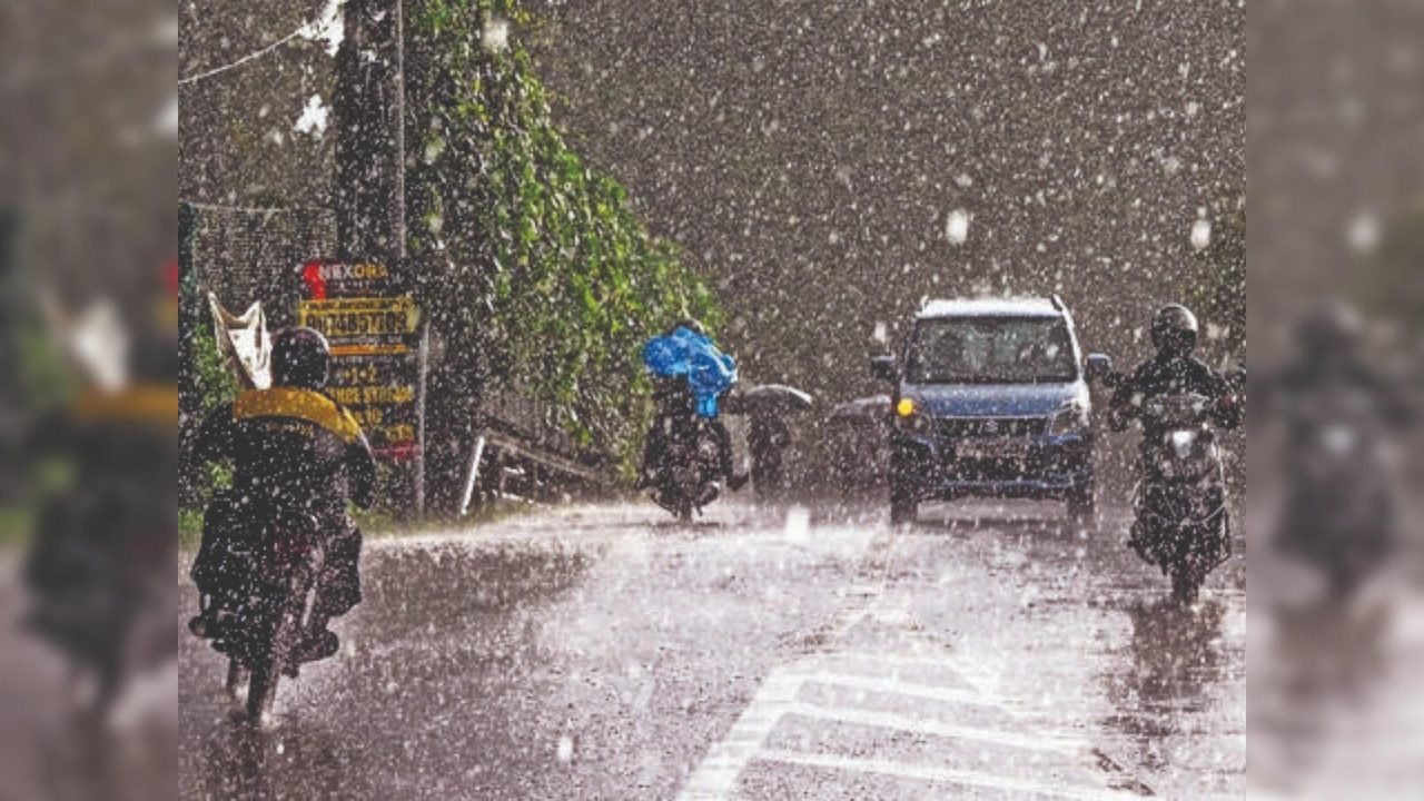
Meteorologists say a newly formed disturbance over the Bay of Bengal is set to deepen into a depression within hours. Officials are closely monitoring atmospheric changes as the post‑monsoon season fuels such tropical developments, and residents are urged to secure property.
Bay of Bengal system intensifies
The active disturbance follows a pattern of recent storm systems that brought strong winds and heavy rainfall to other parts of the country. Warm sea‑surface temperatures along the coastline are typical for this transitional period and provide the energy needed for the system to intensify. Neighboring regions have already felt the residual effects of nearby cyclonic activity, raising alert levels for millions of citizens.
Disaster response teams remain on standby as regional authorities review emergency preparedness protocols. In Hyderabad, swift‑water rescues and urban flooding highlighted the vulnerability of commuters and delivery workers to sudden downpours. Officials advise the public to follow official advisories, monitor continuous updates, and adhere to safety guidelines issued by local disaster management agencies to minimize property damage. The guidance includes avoiding low‑lying areas and postponing non‑essential travel until conditions improve.
Observers will track the system’s movement and strengthening to determine its exact landfall path and potential impact zones. Further announcements regarding school closures, transit delays, and emergency helpline numbers are expected as the disturbance progresses. Staying informed through official channels remains crucial for public safety and for reducing the socioeconomic disruption that heavy rains can cause in the affected states.
Prashanth is the editor of PakkaFilmy. He covers Telangana and Andhra Pradesh politics, Telugu and Indian cinema, sports, technology and useful public-interest news in clear, simple English. Every story is checked against available official information before publishing, as set out in our Editorial Policy. Follow PakkaFilmy on X: https://x.com/pakkafilmy007 | Telegram: https://t.me/pakkafilmytelugu | Instagram: https://instagram.com/pakkafilmy_